 By Joe Sale · Photographer & fine artist · Reviewed and updated October 2026
A search for drone photographer near me in Tampa Bay turns up plenty of people with a quadcopter. Far fewer are working photographers who understand composition, light and the airspace that wraps around this region's airports and air base. Joe Sale is a Tampa Bay photographer and fine artist who flies a DJI drone shooting 4K and pairs it with full camera work on the ground.
His aerial files include the Sunshine Skyway, downtown Tampa from above and the stretch of St. Pete Beach beside the Don CeSar. Here is how he approaches a flight, what you can ask for and how to tell whether a pilot near you is ready for your project.
A good drone photographer near you in Tampa Bay plans every flight around FAA Part 107 rules, nearby airport airspace, wind off the water and the angle of the sun. Joe Sale flies a DJI drone in 4K for stills and video and also shoots the ground, so one person covers the whole project.
Who Actually Hires a Drone Photographer Near Me?
Aerial work is not only for big productions. Around Tampa Bay, aerial projects tend to fall into a few groups, and each one needs something slightly different from the air.
- Real estate and property owners: showing a home's relationship to the water, the size of a lot or how close a condo sits to downtown.
- Restaurants, hotels and hospitality brands: a single establishing shot that tells guests exactly where you are and what surrounds you.
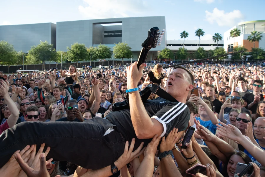
- Event organizers: scale. A festival crowd from above reads completely differently than from the barricade.
- Marketing teams and campaigns: 4K clips that cut cleanly into a brand video or social reel.
- Art buyers and collectors: people who simply want to see Tampa Bay from a vantage point they have never stood at.
If you recognize yourself in that list, you are the client a drone photographer near me search should lead to. The common thread is that the aerial is there to answer a question the ground cannot: where is this, how big is it, and what is around it.
Joe starts every aerial project by asking which of those questions your images need to answer. The answer decides altitude, angle, time of day and the mix of stills and motion.
Sometimes the honest answer is that you need fewer aerials than you think. Three strong angles from the air, paired with good ground coverage, usually outperform thirty near identical overhead frames. Joe would rather plan a short, precise flight than fill a gallery with filler.
The Airspace Map Over Tampa Bay
Few metro areas pack this much controlled airspace into such a compact shoreline. Commercial drone work in the United States falls under the FAA's Part 107 rules, and those rules treat the space around airports carefully. Before a single propeller spins, Joe checks where your site sits relative to the airfields below.
| Airfield | Location | Why it matters for nearby shoots |
|---|---|---|
| Tampa International Airport | West Tampa, near Westshore | Large controlled area over much of the city |
| MacDill Air Force Base | Southern tip of the Interbay Peninsula | Military airspace close to South Tampa |
| Peter O. Knight Airport | Davis Islands | Sits right beside downtown Tampa |
| Albert Whitted Airport | Downtown St. Petersburg waterfront | Directly next to the St. Pete waterfront and parks |
| St. Pete-Clearwater International Airport | Mid Pinellas, along Old Tampa Bay | Affects parts of Clearwater and Largo |
Being close to one of these does not automatically rule a shoot out. It means the flight needs planning, and sometimes it means a different angle or position works better. A drone photographer near me who skips this step is a risk to your project, not a shortcut.
Joe plans flights around airspace and weather as part of the job, then tells you plainly what is realistic for your site.
What if the ideal angle is not possible? There are usually good alternatives. A lower altitude, a position farther from the restricted zone, or a long lens from a rooftop or a boat ramp can produce a similar sense of place. Joe's 80-400mm and 70-200mm lenses are useful here, compressing a skyline from a distance in a way that can feel almost aerial. The goal is the image you need, by the safest legal route.
Wind, Storms and Where the Sun Sits
The second planning layer is weather, and Tampa Bay weather is particular. Breezes coming off the Gulf and the bay can be calm at street level and noticeably stronger a few hundred feet up. A drone that drifts even slightly will soften a long exposure or wobble a slow video pan.
Wind
Mornings are often calmer near the water. For beachfront and causeway work, Joe watches the forecast closely and keeps flexible backup dates.
Storms
Through the summer, afternoon thunderstorms build quickly. Flights get scheduled early, and anything planned for late afternoon has a weather call built in.
Salt air
Near the beaches and causeways, salt spray hangs in the air and settles on lenses and gear. Joe keeps optics clean between flights and avoids launching into blowing spray, small habits that keep images sharp and equipment reliable on the coast.
Haze and clarity
Humid summer air can flatten distant skylines. The clearer, drier days that arrive in the cooler months often deliver crisp views across the bay, which is why long range cityscapes are worth timing for that season.
None of this needs to be your worry. It is the reason you hire someone experienced instead of a friend with a new drone. You give Joe the goal and the window; he picks the flight that will actually deliver.
Sunrise over the bay, sunset over the Gulf
Geography gives Tampa Bay an unusual gift: water on both sides of the day. On the Pinellas beaches, the sun sets over the Gulf, so west facing coastlines glow in the evening. In Tampa and along the eastern shore, sunrise lifts out of the land side and lights up the bay and downtown towers from the east.
For a drone photographer near me, that means the time of day depends on which way your subject faces. A beachfront hotel facing the Gulf usually looks best late in the day. A downtown Tampa tower with its main face toward the river may come alive in the morning. A dock on the eastern side of the bay can catch a pastel dawn over still water.
- Golden hour: warm, low light that rakes across roofs and trees and adds depth.
- Blue hour: the short window after sunset when city lights balance the sky, ideal for skylines and lit buildings.
- Midday: generally avoided, though it can show turquoise water clearly over sandbars and shallows.
Joe also knows the inverse rule: a gorgeous sunset behind your property can leave the front of the building in shadow. On the planning call he will work out where the sun will sit relative to your site so the light works for you, not against you.
Stills, Motion or Both: Deliverables Compared
Ask any drone photographer near me listing for samples and you will see a mix of photos and video. They serve different jobs, and most projects benefit from deciding up front.
| Deliverable | Best for | What to plan |
|---|---|---|
| Aerial stills | Listings, websites, print, social posts | Exact angles and the time of day for the light |
| 4K video clips | Brand videos, reels, property tours | Smooth paths: reveals, orbits, slow pushes |
| Ground plus air set | Complete marketing packages | A shot list covering interiors, exteriors and aerials |
| Fine art aerials | Prints and wall pieces | Unusual timing, patterns, patience |
Video is about movement. A slow rise from behind palms that reveals the bay says more than ten seconds of hovering. Stills are about geometry and light: shadows that stretch at sunrise, or the clean line of a causeway at dusk.
If your images will live on a website and social channels, Joe delivers a private online gallery sized for web, social and print, with clips organized for your editor.
What separates a good aerial from a snapshot from above? Usually it is restraint. Joe looks for a clear subject, a simple background and a line that leads the eye, such as a road, a seawall or a shoreline. He avoids the straight down view unless the pattern below earns it, and he pays attention to how shadows fall across roofs and water. Those decisions come from composing on the ground, and they translate directly to the sky.
Planning aerial coverage? Commercial drone flights in the United States fall under the FAA's Part 107 rules for commercial operators, and Joe checks the National Weather Service Tampa Bay forecast for wind and storms before every flight.
Aerials Joe Has Already Made Around the Bay
The best preview of a pilot's work is the work. Joe's aerial files from around Tampa Bay include several subjects you may recognize.
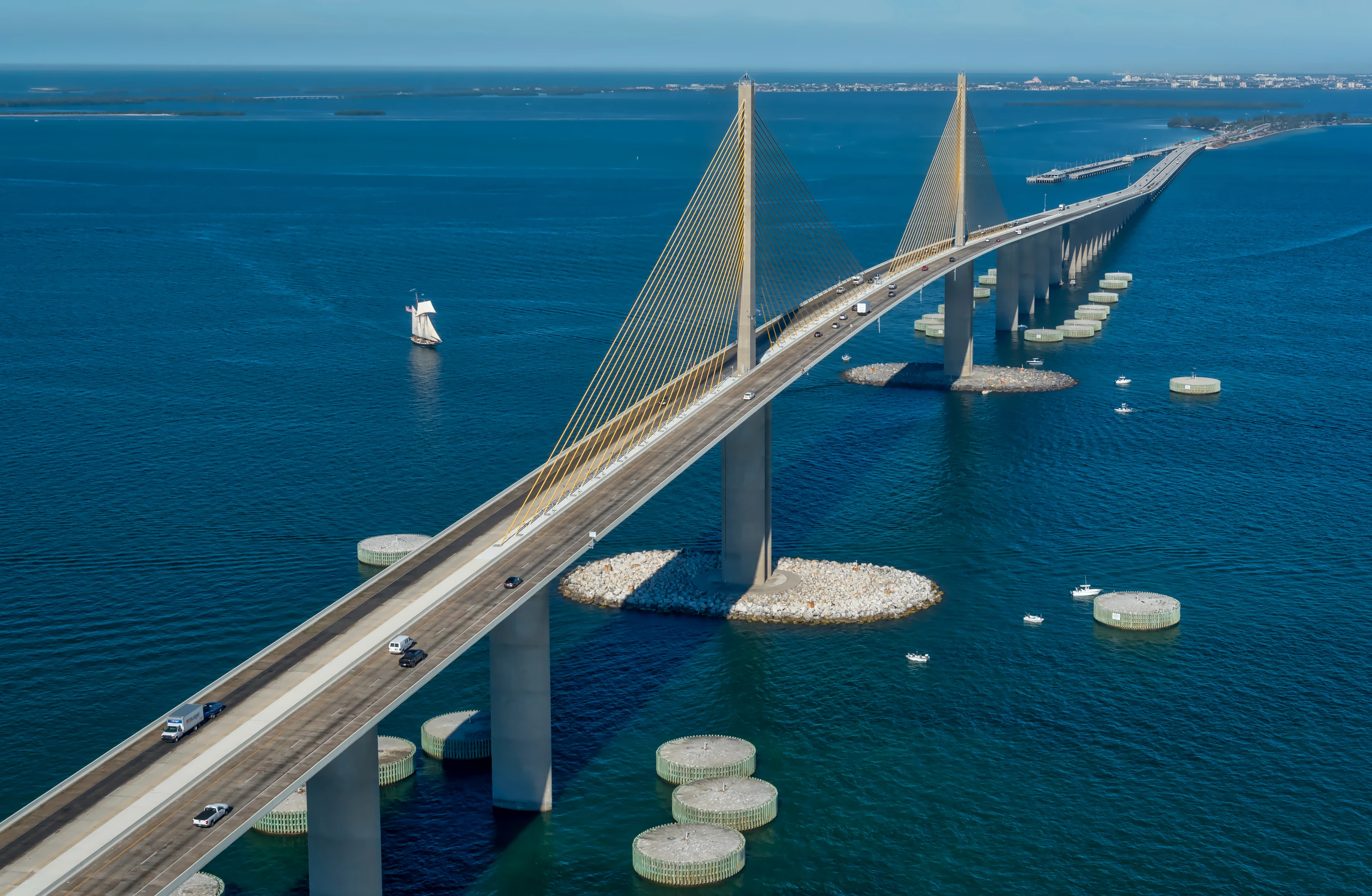
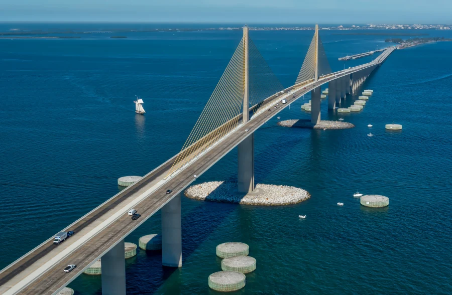
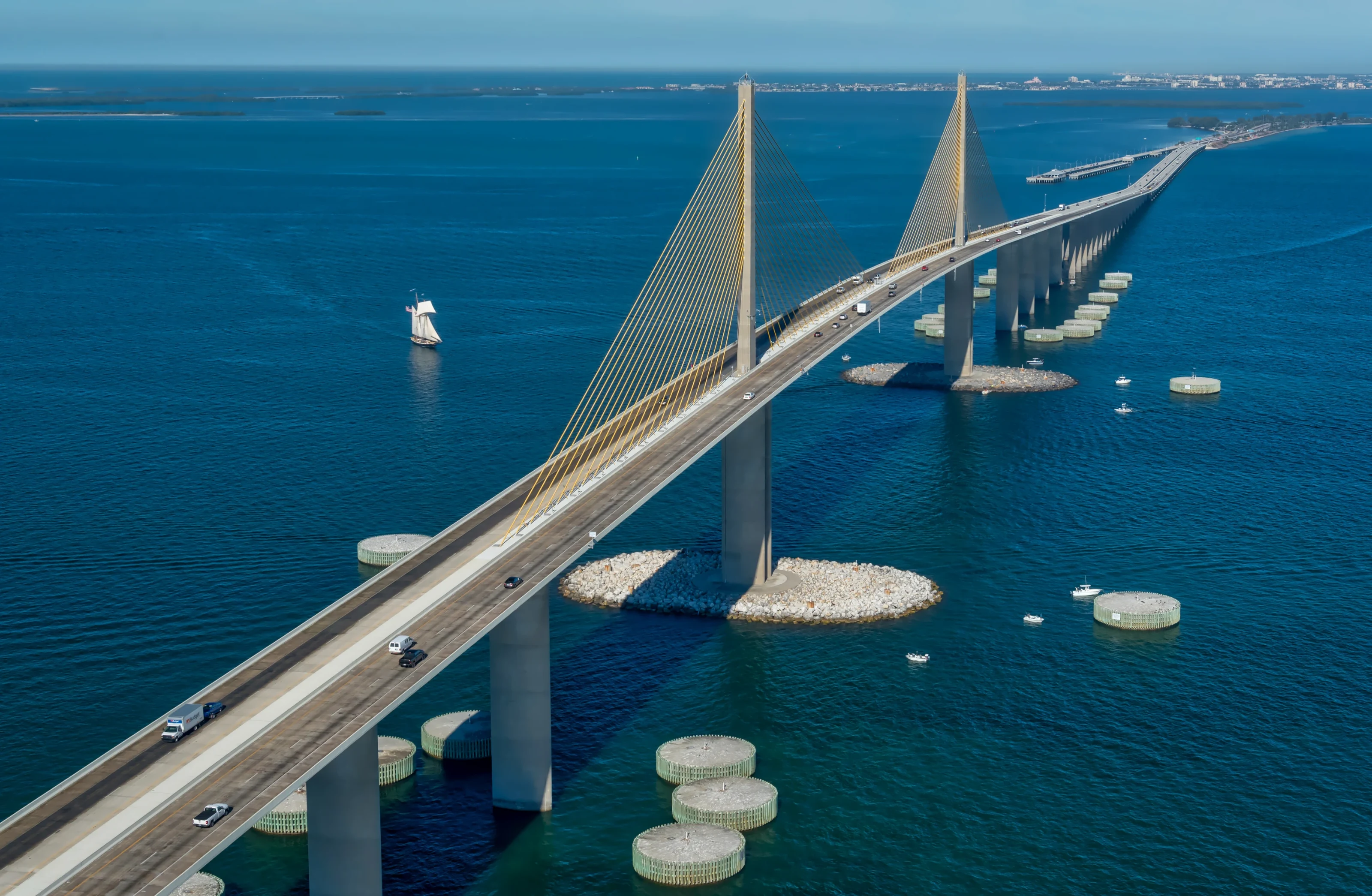
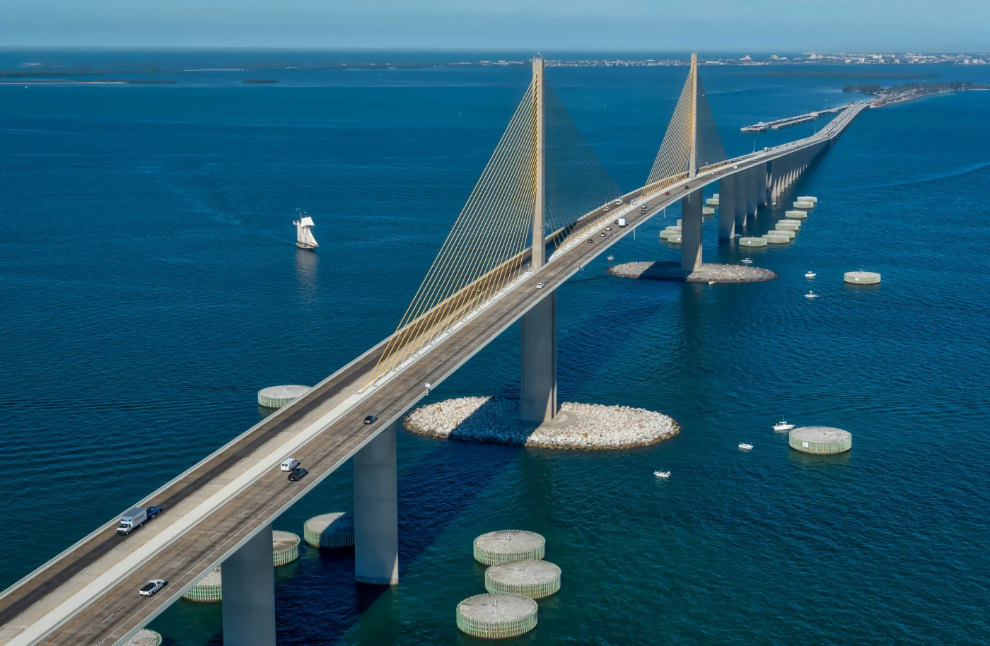
The Sunshine Skyway
The cable stayed bridge across the mouth of Tampa Bay is one of Florida's most photographed structures, and from the air its yellow cables and long approach spans read as pure graphic design.
Downtown Tampa
Drone footage over downtown Tampa shows how the towers, the Hillsborough River and the Riverwalk fit together, something no street level frame can show.
St. Pete Beach by the Don CeSar
The pink landmark hotel against the Gulf is unmistakable from above, and the beach patterns around it shift with every tide.
These are subjects people already know, which makes them hard to photograph freshly. Joe returns to them at different times and seasons to find a version that feels new. That habit is exactly what you want from a drone photographer near me working on your property or brand: someone who keeps looking after the obvious frame is in the bag.
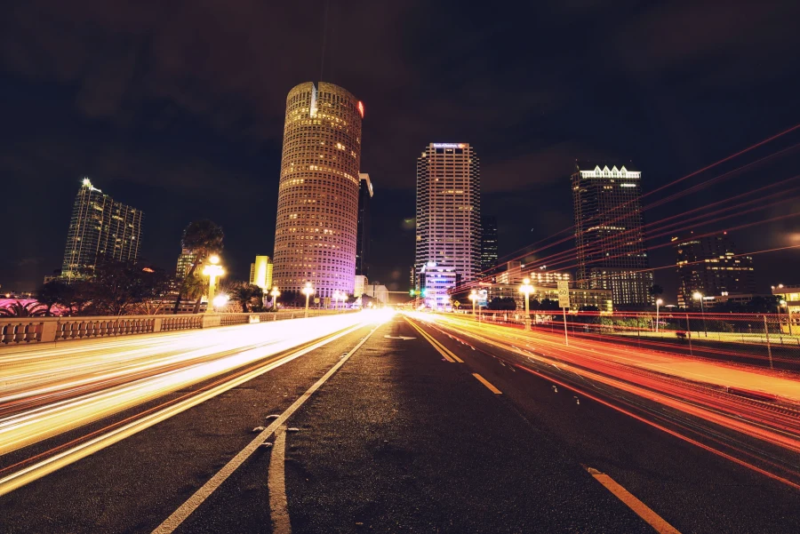
On the ground, Joe has also made a panorama of the downtown Tampa skyline over the Hillsborough River at blue hour and long exposure light trail images stacked from many frames. That same patience with light carries into his aerial work. See more in his portfolio, and if a view moves you, several are available as limited fine art prints.
Why a Drone Photographer Near Me Should Also Shoot the Ground
Most aerial projects need ground images too. A real estate listing needs interiors. A restaurant needs its dining room and its plates. A festival needs the stage and the faces. Hiring one photographer for the sky and another for the ground often produces two different color styles and two schedules to manage.
Joe shoots ground work on Nikon bodies including the D5, D6 and D750, with lenses ranging from a 14-24mm f/2.8 for wide interiors to a 70-200mm f/2.8 for compressed details and an 80-400mm for distant subjects. Pairing that kit with the drone means your aerials and ground images share one eye and one edit.
- Interiors and exteriors for real estate listings
- Venue, food and staff images through brand and commercial photography
- Stage, crowd and detail coverage through concert and event photography
When you search for a drone photographer near me, look for someone who can hand you a complete story, not just a view from above. One planning call, one shoot day and one consistent gallery is simpler for everyone.
Where Joe Flies Across Tampa Bay
Joe travels throughout the region for aerial projects. In Hillsborough County that includes downtown Tampa, Channelside, Davis Islands, South Tampa, Westshore, Brandon, Riverview, Apollo Beach and the waterfront communities along the eastern shore of the bay. In Pinellas, it includes downtown St. Petersburg, St. Pete Beach, Treasure Island, Clearwater, Clearwater Beach, Dunedin, Safety Harbor and Tarpon Springs. To the north, he covers Wesley Chapel, Lutz and New Port Richey.
Each area has its own aerial character. The Pinellas beaches give you a clean line of sand against the Gulf. Downtown Tampa gives you towers and the river. The eastern shore near Apollo Beach gives you wide water and long sunrise light. Inland communities in Pasco offer neighborhoods, lakes and green space.
Distance is rarely the deciding factor. What matters more is whether the site sits under controlled airspace, how exposed it is to wind, and when the light hits it best. Those three questions shape the plan for every location on this list, and they are the same questions Joe asks no matter which side of the bay you are on.
For in depth local guides, see the pages on drone and aerial photography in Tampa, St. Pete drone photography and Clearwater drone photography. Joe's broader aerial and drone service page covers the full offering.
Booking a Drone Photographer Near Me in Five Steps
- Send the address and the goal. Tell Joe where the site is and what the images must do: sell a property, open a video, fill a website hero.
- Planning call. Joe checks airspace, likely wind, sun position and any ground shots you need, then proposes a time window.
- Shot list. Together you agree on aerial angles, video moves and ground frames so nothing is left to chance.
- Flight day. Joe arrives early, checks conditions on site and flies when the light and air cooperate. If weather closes in, you reschedule rather than settle.
- Delivery. Retouched stills and organized clips land in a private online gallery sized for web, social and print.
A few details help the planning call move quickly: the exact address or a map pin, any gate codes or access contacts, the date your images are needed for, and examples of aerial shots you like. Screenshots from other projects are welcome. They show Joe the look you have in mind faster than any description.
That is the whole process, and it is the same whether the project is a single listing or a full brand campaign. To get started, open the booking page or text 813-417-2626 with your site and timing. You can also follow recent work on Instagram at @jsalephotography or read more about Joe. For an overview of everything Joe photographs around the region, visit the Tampa Bay photographer page.
Drone Photographer Near Me: Frequently Asked Questions
How do I find a qualified drone photographer near me?
Look for a working photographer whose portfolio shows strong aerial composition, not just height. Ask how they handle FAA Part 107 rules, nearby airport airspace and wind, and whether they can also shoot ground images. In Tampa Bay, Joe Sale plans each flight around airspace and weather and pairs aerials with full camera coverage on the ground.
Can a drone fly near Tampa International Airport or MacDill?
Airspace around major airports and military bases is controlled, and commercial drone flights there fall under FAA Part 107 rules. That does not automatically rule out a nearby property, but it does require planning, and some angles may not be possible. Joe checks your site's location against nearby airfields during the planning call and explains what is realistic.
Is drone video shot in 4K?
Yes. Joe flies a DJI drone that records 4K video, which gives editors room to crop and stabilize while keeping the footage sharp on large screens. He plans smooth moves like slow reveals, orbits and rising shots so clips cut cleanly into brand videos, property tours and social reels.
What weather is best for aerial photography in Tampa Bay?
Calm wind, clear air and soft light are ideal. Mornings are often calmer near the water, while summer afternoons frequently bring thunderstorms. The drier months of late fall through spring tend to offer the clearest long range views. Joe watches the forecast closely and keeps flexible backup dates for weather sensitive flights.
Can I buy prints of Joe's aerial photos?
Yes. Joe offers limited fine art prints of his Tampa Bay work, and his aerial subjects include the Sunshine Skyway and downtown Tampa. You can browse what is currently available on the prints page. If you are looking for a specific view of a place that matters to you, mention it when you reach out.
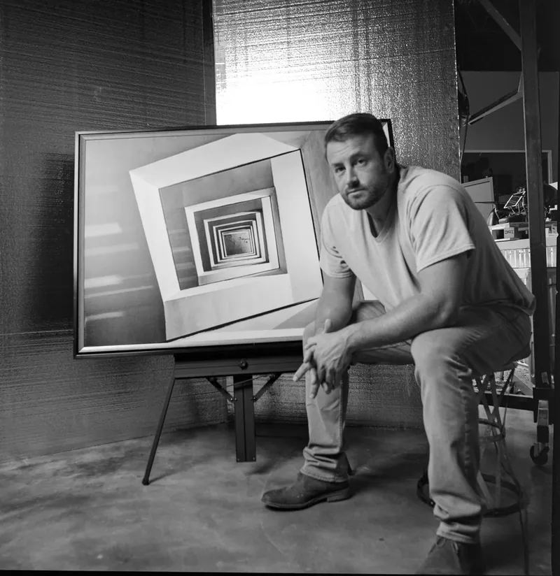
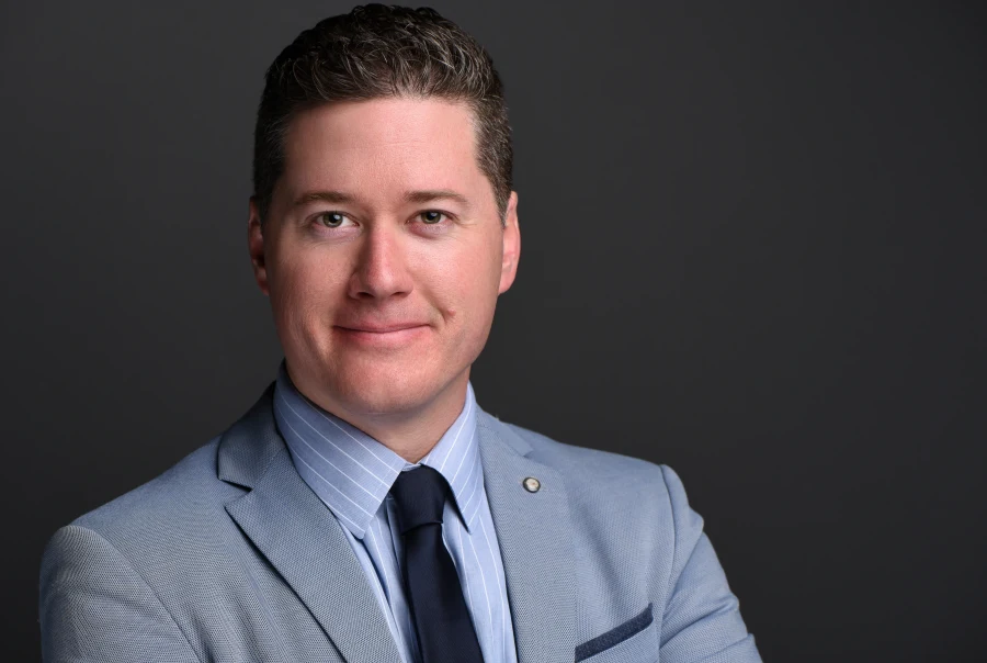
About Joe SaleJoe is a Tampa Bay photographer and fine artist who shoots portraits, live music, brands and the city itself. See more on the about page, browse the portfolio or book a shoot.