 By Joe Sale · Photographer & fine artist · Reviewed and updated October 2026
Sarasota aerial photography begins with a coastline that almost looks designed for the camera: a chain of barrier islands, white sand, shallow water that shifts from jade to deep blue, and a compact downtown facing a wide bay. Joe Sale, a Tampa Bay photographer and fine artist, flies a DJI drone that shoots stills and 4K video, and he brings it south to Sarasota for properties, businesses, events and art.
This page explains what aerial imagery can do for your project, which parts of Sarasota reward it, how airspace and Gulf weather shape every flight, and what a flight day with Joe actually looks like.
Joe Sale provides drone stills and 4K video across Sarasota, including Siesta Key, Lido Key, St. Armands Circle, the bayfront and inland properties. Commercial drone work falls under FAA Part 107 rules, and Joe plans each flight around airspace near Sarasota Bradenton International Airport and the day's wind and weather. Request a date at /book/.
What Sarasota Aerial Photography Reveals That the Ground Cannot
Stand on the sand at Siesta Key and you see a beach. Rise a few hundred feet and you see a system: the sandbars under clear water, the bands of color where the shelf drops off, the line of condos and the green interior of the key behind them. Aerial images explain place in a way ground photos simply cannot.
That explanatory power is why people commission Sarasota aerial photography. A homeowner wants buyers to understand that the house is a short walk to the bay. A resort wants guests to see its pool, its beach and its sunset view in one frame. A developer wants to show progress on a site over months. An event planner wants one image that captures the scale of a crowd on the waterfront.
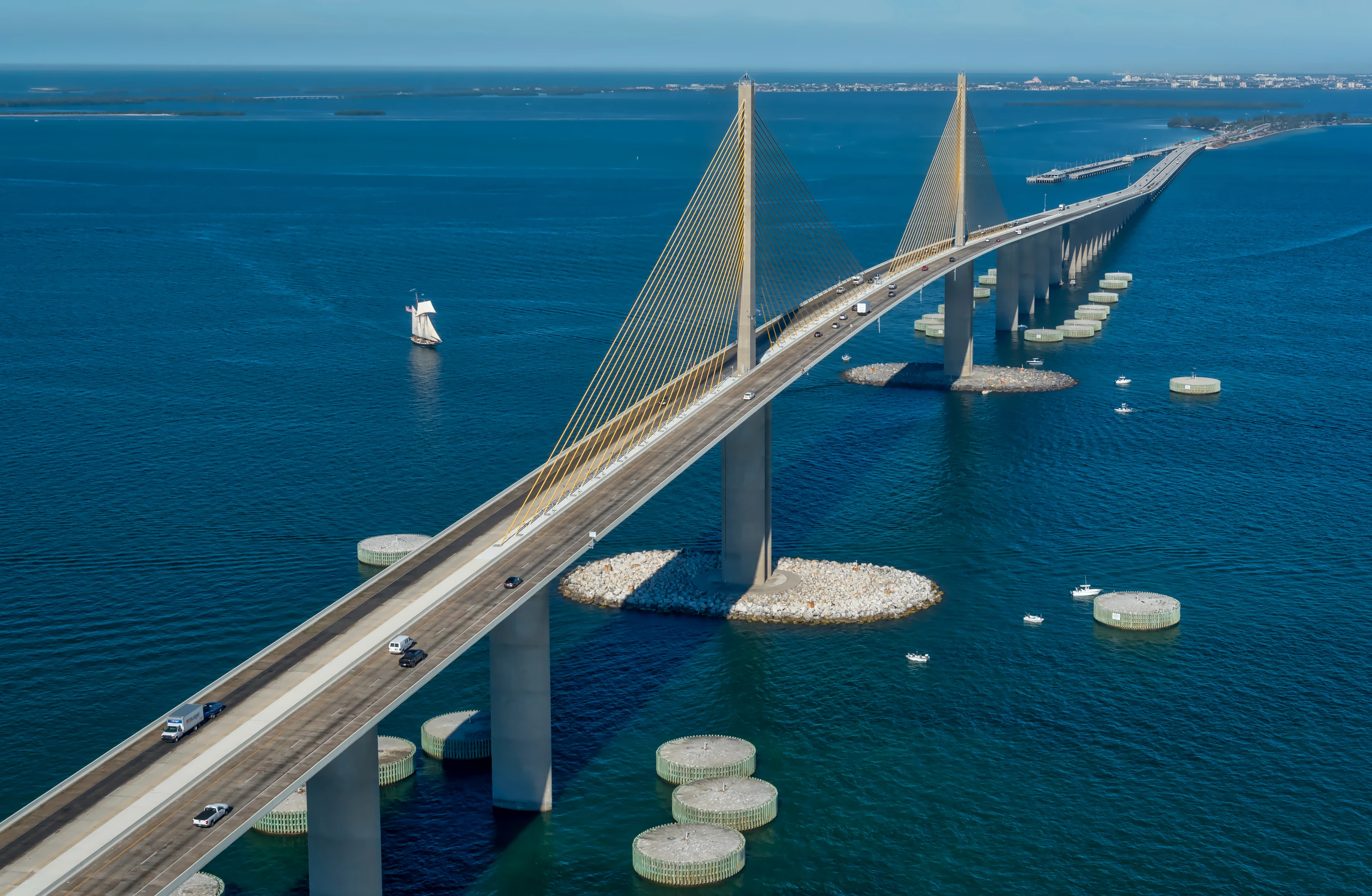
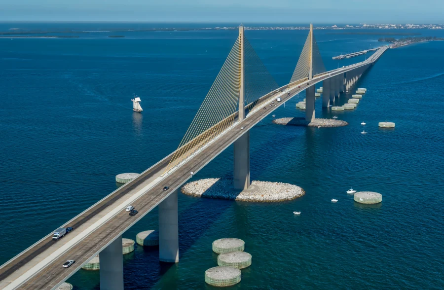
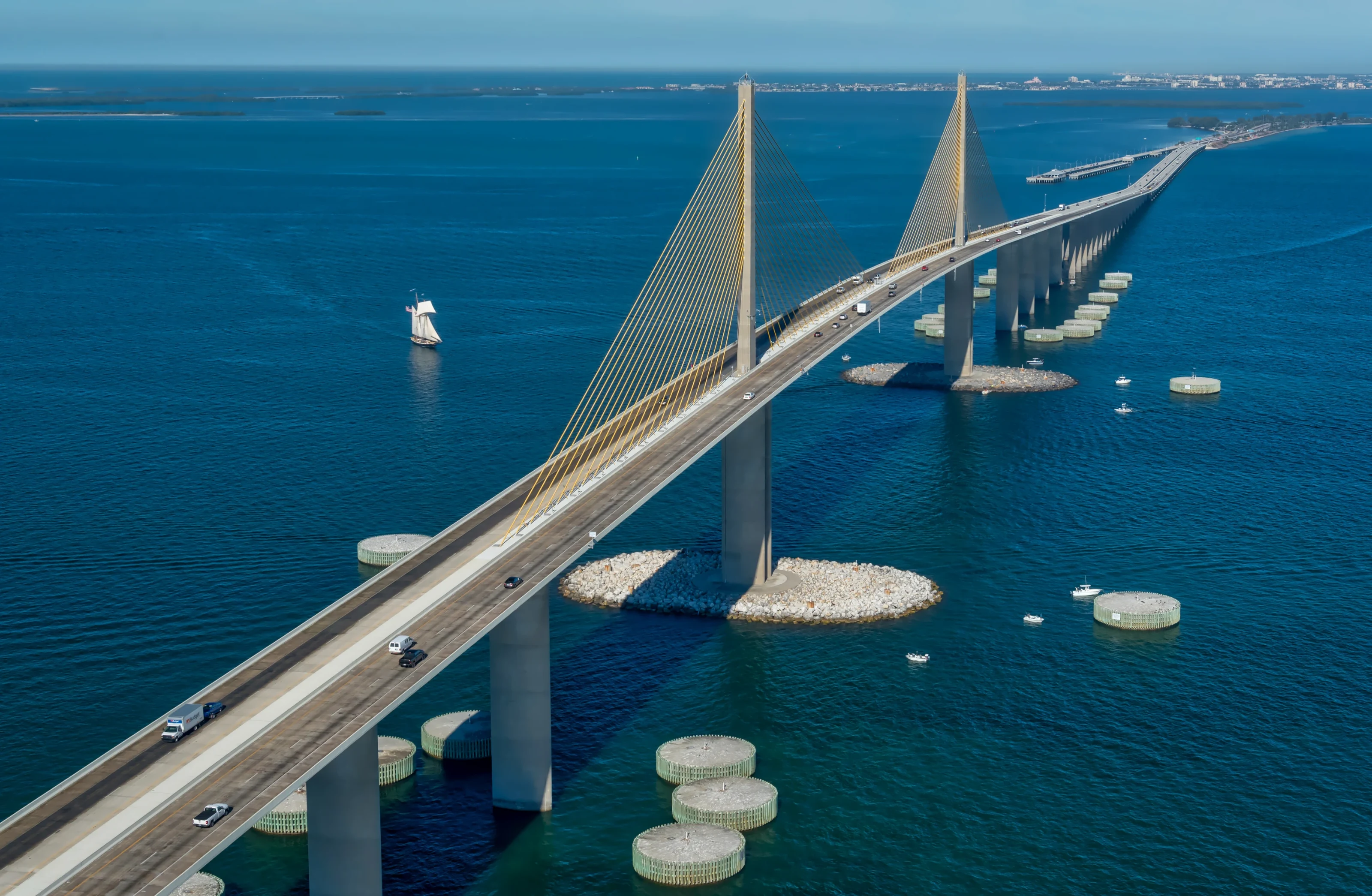
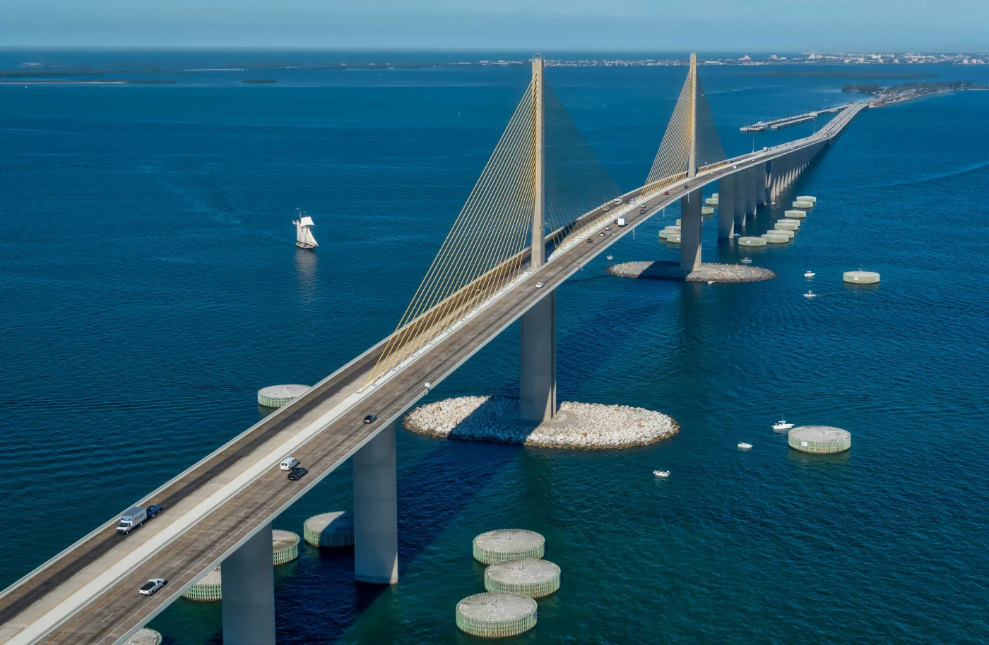
For Joe, there is also an artistic reason. His aerials of the Sunshine Skyway and his drone footage over St. Pete Beach by the Don CeSar treat the coast as graphic shape and color. The same eye turns a Sarasota shoreline into something you would hang on a wall, which is why some of his aerial work becomes fine art prints.
Two basic camera angles drive most aerial work. A straight down view flattens the world into pattern and color, perfect for sandbars, pools and the circle at St. Armands. An oblique view, tilted toward the horizon, keeps a sense of depth and place, ideal for showing a home in relation to the beach or a hotel against the skyline. Good Sarasota aerial photography usually mixes both, so the set tells a complete story.
A Field Guide to Sarasota From Above
Every part of the Sarasota coast reads differently from the air. The keys run north to south along the Gulf, each with its own shape and character, and downtown faces them across the bay. This table summarizes what Joe looks for in each.
| Area | What stands out from the air | Typical projects |
|---|---|---|
| Siesta Key | Bright white quartz sand, wide beach, shallow turquoise water | Vacation rentals, hospitality, lifestyle video |
| Lido Key | Narrow barrier island with Gulf on one side and bay waters on the other | Waterfront homes, condos, beach access shots |
| St. Armands Circle | A ring of shops and palms that forms a perfect circle from overhead | Retail and restaurant brand content |
| John Ringling Causeway | The bridge sweeping from downtown across the bay to the keys | Context shots, tourism, art |
| Downtown and Bayfront Park | Skyline, marina, the bay edge and green space | Commercial real estate, events, city promotion |
| Longboat Key | Long, slender key lined with Gulf front properties | Luxury listings, resort marketing |
Some landmarks, such as the Ringling Museum grounds or Selby Gardens, are private or institutional property with their own rules, so permission comes before any flight plan. Joe will help you sort out what is realistic for your site.
Beyond the beaches
Not every project sits on the water. Inland neighborhoods, golf communities, commercial corridors, farms and land parcels east of the interstate all benefit from an overhead view, especially when buyers or investors need to understand boundaries, access roads and surroundings. Sarasota aerial photography for land and commercial sites is less about postcard color and more about clarity, so Joe favors higher, cleaner angles that read like a map.
Airspace, Rules and the Part 107 Framework
Commercial drone flights in the United States fall under the FAA's Part 107 rules. Those rules cover how high a drone can fly, when it can fly near people, how it operates near airports and what happens at night. Joe plans every Sarasota aerial photography job within that framework, and he plans flights around airspace and weather before he ever packs the drone.
Why airspace matters in Sarasota
Sarasota Bradenton International Airport sits just north of downtown, and the controlled airspace around it covers a meaningful slice of the city and the bay. In controlled airspace, flights generally need FAA authorization before takeoff, and some spots may have altitude limits. That is why location is the first thing Joe asks about. A property on Siesta Key and a lot near the airport call for very different planning.
People, privacy and wildlife
Beaches are busy, and the rules limit flying over people. Joe plans angles and timing so crowds are not directly beneath the aircraft, which often means early morning flights. He also keeps a respectful distance from shorebirds and nesting areas, and from neighbors who did not ask to be filmed.
Sunrise, sunset and night
Part 107 also has specific requirements for flying at night, including lighting on the aircraft. Most Sarasota aerial work is planned for the edges of the day instead, when the light is beautiful and the rules are simpler to work within.
None of this is meant to sound restrictive. Good planning simply makes the day go smoothly, and it is the reason clients get usable footage instead of a canceled flight.
Reading Gulf Weather Before a Flight
Weather on the Gulf coast changes quickly, and drones are sensitive to it. Joe watches several things in the days and hours before a Sarasota flight.
- Wind: mornings are often calmer, while sea breezes tend to build during the day. Steady air means sharper stills and smoother video.
- Storms: from late spring through summer, afternoon thunderstorms are common. Flights are scheduled early or around the storm window, never through it.
- Water clarity: calm, clear days show sandbars and color gradients beautifully. After rough weather the water can turn cloudy, which changes the look.
- Haze and humidity: summer haze softens distant detail. Winter often brings crisper air and longer views down the coast.
- Sun angle: low morning or evening light adds shadow and depth to buildings and dunes. High midday sun can bring out the strongest color in shallow water, though it flattens buildings and shadows.
If conditions are not right, Joe will tell you and suggest a new time. A short delay is much better than a set of hazy, shaky files.
Season plays a role as well. Winter and early spring are popular for Sarasota aerial photography because the air is drier and the light stays clear through more of the day. Summer brings the most dramatic skies, with towering clouds over the Gulf, but it also demands the most flexibility. Hurricane season runs from June through November, and Joe will not plan flights while a storm system is threatening the coast.
Planning aerial coverage? Commercial drone flights in the United States fall under the FAA's Part 107 rules for commercial operators, and Joe checks the National Weather Service Tampa Bay forecast for wind and storms before every flight.
Stills or 4K Video for Your Sarasota Aerial Photography Project
Many projects benefit from both, but each format does a different job.
Aerial stills
Still images are what most people picture: a crisp overhead view of a home and its waterfront, a wide panorama of the keys at sunrise, a straight down shot of St. Armands Circle. Stills work for listings, websites, brochures, print advertising and wall art. Joe processes them with the same care he gives his fine art work, controlling highlights on the water and keeping color natural rather than oversaturated.
4K video
Video adds movement and a sense of arrival. A slow push along the Lido shoreline, a rising reveal over a resort pool, a sweeping orbit around a commercial building. These clips power social media, website headers, event recaps and property tours. Joe captures in 4K, which gives editors room to crop and stabilize.
Good aerial video is slow and deliberate. Joe plans each move with a clear start and end frame, flies it more than once, and keeps speed consistent so clips cut together cleanly. Short, purposeful shots are far more useful to an editor than long, wandering takes.
Panoramas
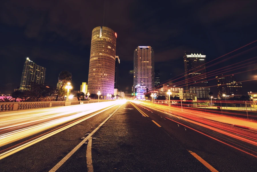
For very wide scenes, Joe stitches several frames into one high resolution panorama. He has done this from the ground with the downtown Tampa skyline over the Hillsborough River at blue hour, and the same technique works from the air over Sarasota Bay or the line of the keys. Panoramas make excellent large prints and website banners.
Combining with ground photography
Aerials tell the big picture; ground images tell the details. Joe photographs both, so interiors, exteriors, portraits and products can be shot during the same visit. That keeps the look consistent across your whole project. Learn more on the aerial and drone and brand and commercial service pages.
Who Hires Joe for Sarasota Aerial Photography
The range of clients is wider than most people expect. Here are the most common, along with what each usually needs.
Real estate and property
Listings on the keys and along the bay depend on context: proximity to the beach, water views, the neighborhood around them. Aerials show all of that at a glance. For ground level listing photos and interiors, read the Sarasota real estate photography guide, and owners further north can see Bradenton real estate photography.
Hospitality and restaurants
Resorts, rentals and waterfront restaurants sell a setting. A rising shot from a dining deck out to the Gulf at sunset does more than any written description.
Joe often pairs those aerials with ground work: plated dishes, a bartender at work, guests on a terrace, rooms styled for the camera. Because he shoots brand and commercial work for restaurants and hospitality, the whole set feels like one campaign rather than drone clips bolted onto a website. Sarasota aerial photography is strongest when it sits next to images that show the experience up close.
Events
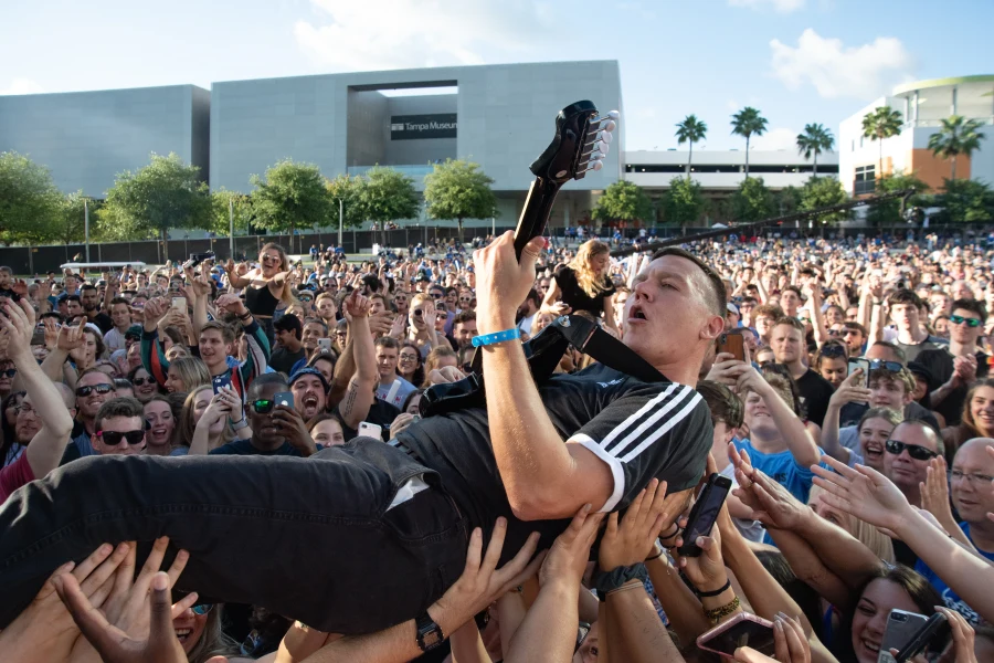
Festivals, races, community gatherings and company events look bigger and more impressive from above. Joe has photographed festival main stages and large crowds in Tampa, and he understands how to plan aerial coverage around people safely.
Construction and development
Builders and developers use repeated flights from the same positions to document progress over time. Matching angles from one visit to the next makes the change easy to see, and the files serve investor updates, marketing and records. Consistency is the main goal of this kind of Sarasota aerial photography, so Joe notes positions and heights for every repeat visit.
Art and personal projects
Some clients simply want a beautiful image of the place they love. Joe's own aerial art shows how far that can go.
How a Flight Day Unfolds
Here is the typical sequence for a Sarasota aerial photography job with Joe.
- Planning call. You describe the site, the purpose and any deadlines. Joe asks about access, neighbors and the shots you need most.
- Airspace and site check. Joe checks airspace, nearby airports, property rules and obstacles, and flags anything that needs authorization or permission.
- Weather window. A target date and a backup are set. Joe watches wind, storms and sun angle as the day approaches.
- On site. He arrives early, walks the area, confirms a safe launch spot and flies a planned shot list, adding creative angles when conditions allow.
- Editing. Stills are processed by hand; video is organized into clean clips ready for your editor or social team.
- Delivery. Everything arrives in a private online gallery, sized for web, social and print.
How you can help
- Share the exact address or a map pin, plus any gate codes or access notes.
- Tell neighbors or guests that a drone will be in the area.
- Clear driveways, pool decks and outdoor furniture for property shoots.
- List your must have shots in order of priority.
Ready to plan? Use the booking page or call or text 813-417-2626 to talk through your site.
Sarasota Aerial Photography as Part of a Bigger Picture
Joe works throughout Sarasota, not only in the air. He photographs executives and professionals, families on the beach and couples at sunset, and he brings the same craft to each. If you need portraits along with your aerials, the Sarasota headshots and Sarasota photographer pages cover the rest of what he offers here.
He also flies across the wider region. Projects in Pinellas often start on the St. Pete drone photography page, and Tampa clients can read drone photography in Tampa. The planning principles are the same everywhere; only the coastline, the airspace and the light change.
What ties it all together is a photographer's eye. Sarasota aerial photography is easy to do badly: tilted horizons, blown out water, flat midday light, footage that drifts without purpose. Joe approaches every flight like a composition, deciding where the lines lead, where the color sits and what the viewer should notice first. That is the difference you see in the finished images.
If you are still weighing whether Sarasota aerial photography is right for your project, a quick call with Joe usually settles it. Describe the site and what you want viewers to understand, and he will tell you whether a drone, a ground camera or both will do the job best. You can also browse his portfolio of recent work first.
Sarasota Aerial Photography: Frequently Asked Questions
Can you fly a drone on Siesta Key or Lido Key?
Often, but it depends on the exact location, airspace, local rules and how crowded the beach is. Commercial drone flights fall under FAA Part 107 rules, which limit flying over people and near airports. Joe checks the specific site before committing, plans early flights when beaches are quiet and will tell you honestly if a spot is not workable.
Is Sarasota near controlled airspace for drones?
Yes. Sarasota Bradenton International Airport sits just north of downtown, and the controlled airspace around it covers parts of the city and the bay. Flights in controlled airspace generally need FAA authorization before takeoff and may have altitude limits. Joe checks airspace for every location during planning so there are no surprises on the day.
What is the best time of day for aerial photos in Sarasota?
Early morning is usually best. Winds tend to be lighter before the sea breeze builds, beaches are quieter, and low sun adds depth to buildings and dunes. Late afternoon and sunset work well for dramatic color, weather permitting. In summer, mornings also help avoid the afternoon thunderstorms common along the Gulf coast.
Do I get video as well as photos from a drone shoot?
You can. Joe's DJI drone captures both still images and 4K video, and many clients want both from one flight. Stills serve listings, websites and print, while video clips power social media, website headers and property tours. Tell Joe how you plan to use the footage and he will build the shot list around it.
What happens if the weather is bad on my flight day?
Joe sets a target date and a backup when you book, then watches wind, storms and haze as the day approaches. If conditions would compromise safety or image quality, he will recommend moving the flight. Rescheduling around Gulf weather is normal for aerial work and leads to far better results than flying through poor conditions.
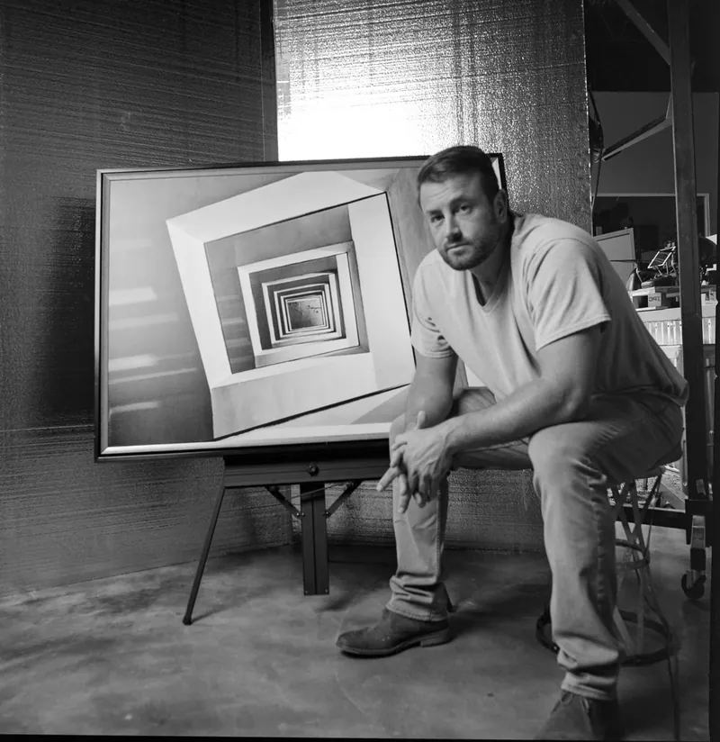
About Joe SaleJoe is a Tampa Bay photographer and fine artist who shoots portraits, live music, brands and the city itself. See more on the about page, browse the portfolio or book a shoot.